

Safety information, faster to reach at sea
More than 18 months of AHO research became a working website on a condensed schedule. Mariners now reach chart corrections and tide tables faster, even at sea.
- Delivered on a condensed schedule [Confirm: build time in weeks], building on 18+ months of AHO research
- Nine content types, including a dedicated type for Notices to Mariners (NtM) with edition-specific downloads
- Tide publications covering 90+ primary ports and around 700 secondary ports, easier to find
- Meets the Australian Government Digital Experience Standard
- Performance tuned for high download volumes and users with limited connectivity at sea
About AHO
Drupal 11 | Convivial GovCMS | Migrations | Web development
The AHO provides Australia's national charting service under the Safety of Life at Sea (SOLAS) Convention and the Navigation Act 2012 (Cth). Its website serves the maritime community in Australia and overseas.
The previous site had been in place for more than 10 years and was hard to maintain. Finding hydrographic updates, spatial datasets, and safety information meant navigating many static pages. The site also delivers high volumes of Electronic Navigational Chart (ENC) files and NtM publications.
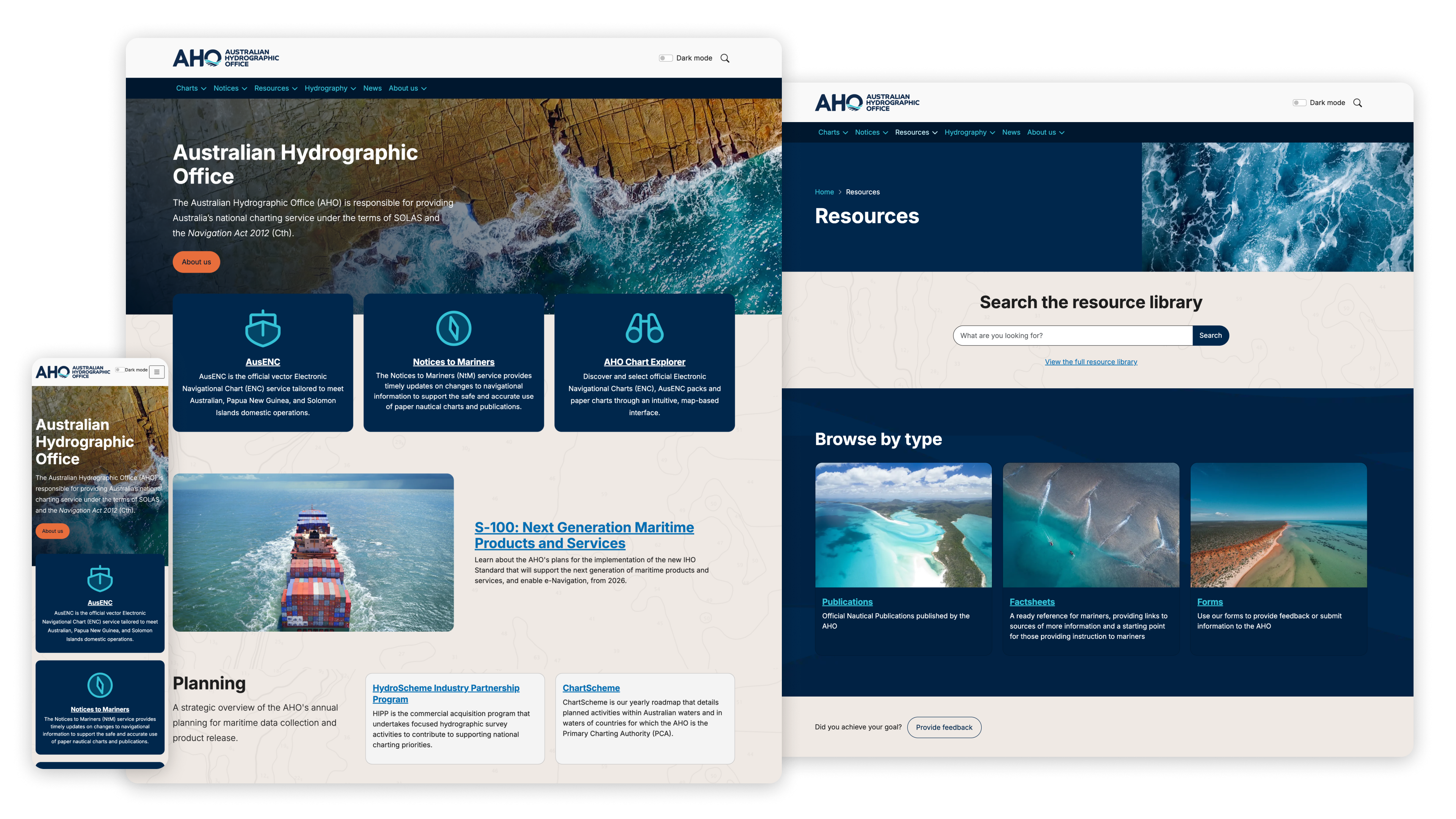



The Australian Hydrographic Office (AHO) partnered with Morpht to deliver its new website in a condensed project schedule. Building on more than 18 months of user research, stakeholder engagement and planning undertaken by the AHO, Morpht worked closely with our team to transform those insights into a modern, user-focused website. Their expertise, professionalism and collaborative approach ensured the project was delivered successfully while meeting the Australian Government Digital Experience Standard and supporting the rollout of the AHO's refreshed brand identity.
Morpht were able to quickly understand our requirements and translate extensive research into a practical, high-quality digital solution fit for our users. The result is a responsive, accessible and future-ready website that better serves the maritime community.
Australian Hydrographic Office